Geophysical surveys are an extremely helpful tool for identifying areas of high exploration potential so that work programmes can be prioritised. RSC geophysical experts can interpret regional geophysical and satellite data and provide a report on targets, intrusion detections, structural interpretations and alteration maps.
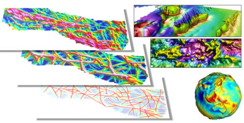
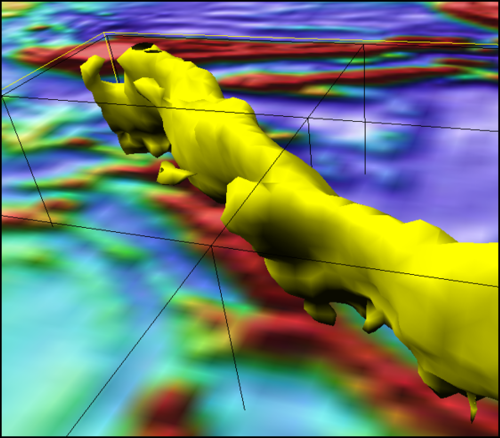
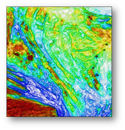
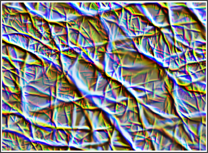
Generation of a structural interpretation for a prospective area is a crucial part of the exploration process because almost all mineral deposits exhibit some degree of structural control. Using a proprietary edge‐detection filter RSC can develop a synthetic structure map using existing geophysical and/or topographic data. Results are a measure of asymmetry regardless of amplitude meaning that structures in areas of low contrast are highlighted just as well as those in areas of high contrast as long as the frequencies are present. One aspect of the design that makes the structure detection more versatile than other edge detection filters is that it works by determining asymmetry in various orientations. This allows us to quantify the major structural orientations in an area. It also lets us highlight features of certain orientations or that are parallel or perpendicular/oblique to a feature of interest.